
Parcel creation and naming
Create and name land parcels from boundary geometry.
Create and check parcel fabric with closure, area statistics, setbacks and monument checks, lay out parking, and produce setting-out data and print sheets for every point, pipe and structure on site.
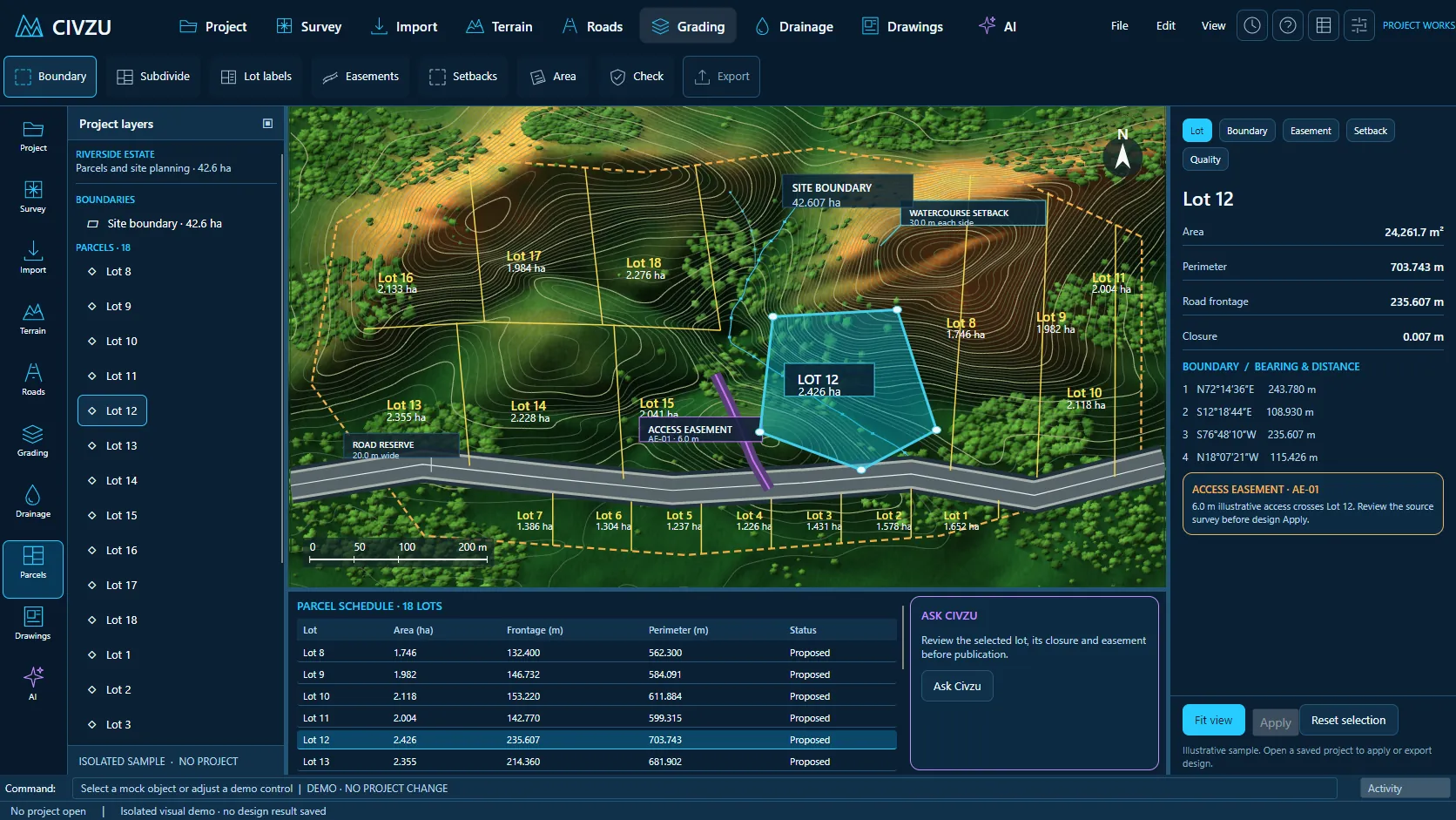 APP CAPTURE · ILLUSTRATIVE PROJECT
Your engineers work in the desktop workbench; your agent reaches the same project through typed local tools. Items tagged In development are being built now.
Create and name land parcels from boundary geometry.
Generate corner points for parcel boundaries.
Apply different front, side and rear setbacks to parcels.
Report parcel areas and area statistics.
Report parcel closure and perimeter.
Check monuments against parcel boundaries and report discrepancies.
Check perpendicular and radial distances to straight parcel boundaries.
Place hash marks where straight boundaries change direction.
Lay out orthogonal parking bays from bay dimensions.
Lay out parking bays by equal subdivision of a frontage.
Parking-space counts update as the layout changes.
Generate setting-out at geometry points and regular intervals.
Setting-out with offset and level rules.
Generate setting-out along pipes and drainage structures.
Station-offset setting-out reports with SVG and PDF output.
Superseded setting-out data is marked when the design is revised.
“Create the erf boundaries from the surveyed corners and report closure and area for each.”
“Check every boundary against the found monuments and flag discrepancies over 20 mm.”
“Prepare setting-out sheets for the stormwater structures at 1:500.”
Reserve your early-access seat. We confirm your MCP client, seat count and commercial details before access opens.
Reserve your seat ↗